Features
Drone Scanning
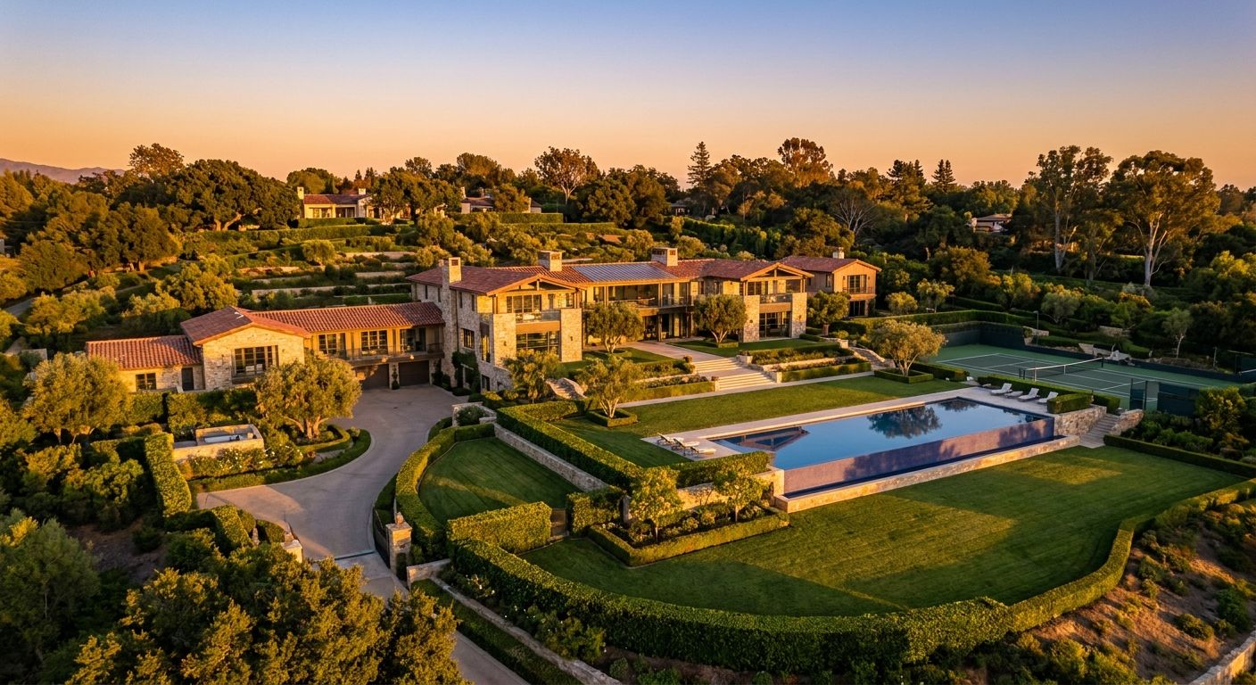
High-precision aerial capture with photogrammetry. Model buildings and land from the sky.
Advantages
01
Aerial view
Discover the property and its surroundings from the air
02
Millimeter precision
Extremely accurate 3D models thanks to photogrammetry
03
Large spaces
Ideal for land, estates and exceptional properties
Discover more
01
360° Virtual Tours
Total immersion in your properties with 360° panoramic rotation. Explore every room as if you were there.
02
Interactive Floor Plans
Smooth navigation between floors and rooms. See the property's full layout in one click.
03
Multiple Views
View day/night, furnished/empty, before/after renovation. Picture yourself in every configuration.
Start your project today
Contact us to discuss your needs and get a tailored quote
See all features
Request a quote